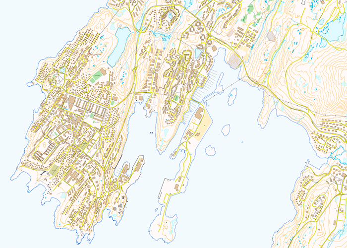
- Technical base map: Technical topographic maps including area names, building numbers and feature descriptive text.
- Digital terrain model and elevation contours.
- Orthophoto, a geometrically rectified aerial photomosaic.
- The technical base map in a generalized version called G50.
The free technical base map does not include Asiaq’s historical data.

