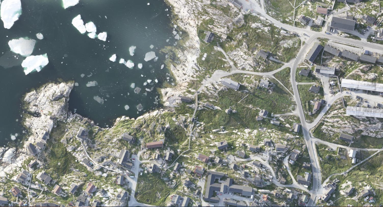
There are updated maps of Nanortalik and Narsaq and updated maps and orthophotos for Ilulissat on Asiaqs map view.

Updated base maps and orthophotos are crucial, for example, in connection with emergency preparedness, infrastructure, building and construction work, tourism, land use planning and much more.
Asiaq uses drones to map the settlements. The fieldwork with drone flights is followed by processing and quality assurance of data – before the digital map products are published on the map view homepage.
