This week, Asiaq is measuring water depths in Tasiilaq harbor and subsequently in the harbors in all the settlements near Tasiilaq. The measurements will result in very precise knowledge of the depth conditions and will be beneficial for future navigation in the ports.
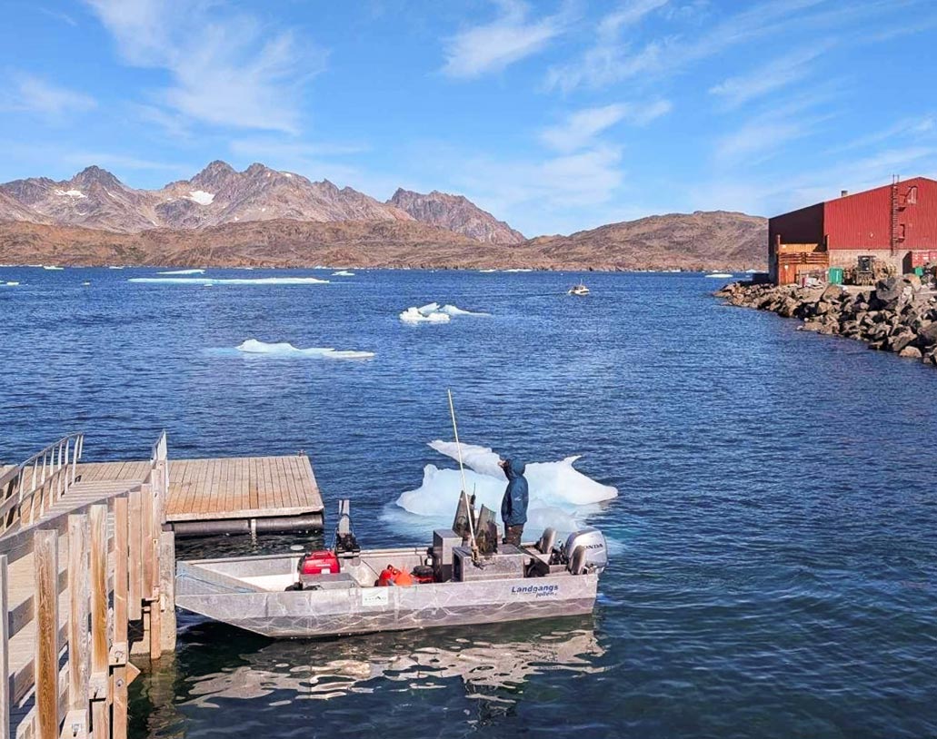
The survey is carried out in close cooperation with and financed by the Ministry of Housing and Infrastructure, which is the responsible authority for the port areas. The measurements are carried out using Asiaq’s aluminium dinghy, which is equipped with a multibeam echo sounder. A multibeam echo sounder is a modern and advanced echo sounder that can not only measure distance, but also make precise 3D scans of the seabed. Asiaq has received the following statement from the Minister of Housing and Infrastructure Hans Peter Poulsen:
- I am very pleased that the port surveys in Tasiilaq and in the settlements at Tasiilaq are now underway. It is important for the Government of Greenland to contribute to the safety of navigation in the ports. Several of the ports in East Greenland have waited a long time for modern measurements, and therefore I am pleased that we can create clarity about the depth conditions in several of our ports in collaboration with Asiaq.
The data collected will subsequently be processed by Asiaq, after which it will be included in the Greenland Harbour Pilot, which will be published by the Danish Geodata Agency.
The measurement method means that, in addition to depths, you get a very detailed picture of the seabed, where you will be able to recognize objects such as sunken ships, bicycles, shopping carts and the like.