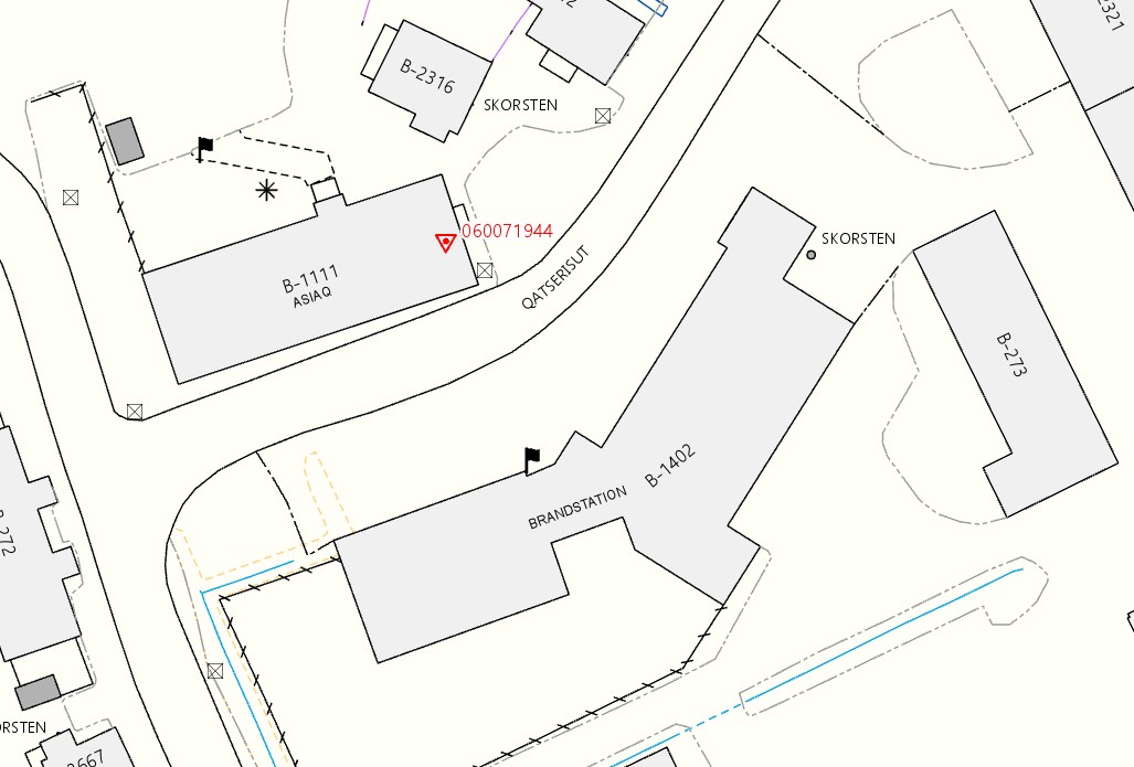
The base map is established on the basis of aerial photography recorded vertically over the terrain from either aircraft or drone. The base map is updated by RTK_GNNS (GPS) on the terrain or by measurement in aerial images (photogrammetry).
The many different aerial photos are put together into a geometrically composed photo mosaic called an orthophoto. The orthophoto is absolute measurable and can be combined with the base maps or other geo rectified maps.
The base map can be used, e.g. for land-use planning, land administration, mineral exploration, nature protection and conservation, design and construction of plants and infrastructure, transport and logistics, emergency services as well as outdoor life and tourism. Data are also used for research regarding e.g. nature, environment, climate, culture and history.


