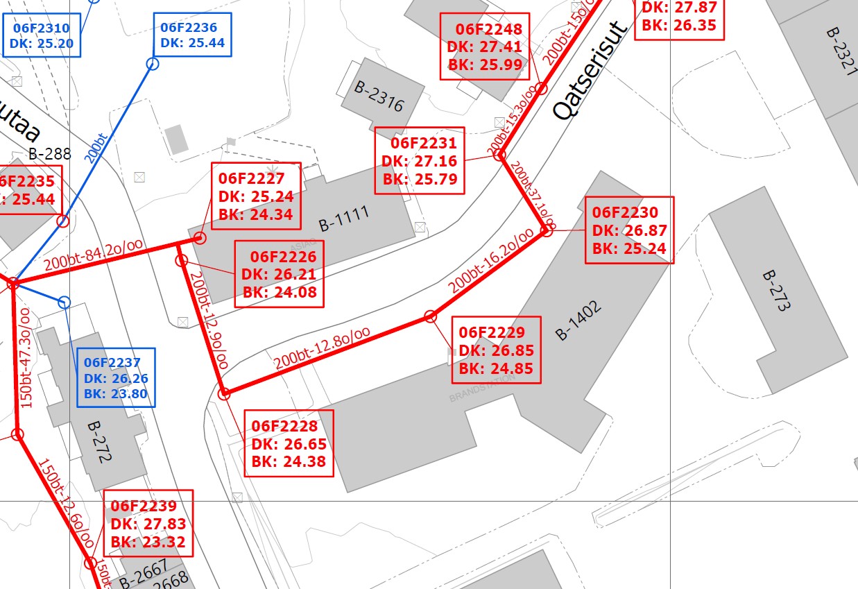
Asiaq is Greenland’s mapping authority and center for geographic information. Geographical data are absolutely fundamental in public administration and area planning, for utility cable registration, construction planning, raw material exploration, transport and logistics, emergency services, outdoor life, tourism and research.
Asiaq collects, quality assures, analyses, processes and disseminates maps, geodata and geographic information about Greenland, for users in Greenland and abroad.
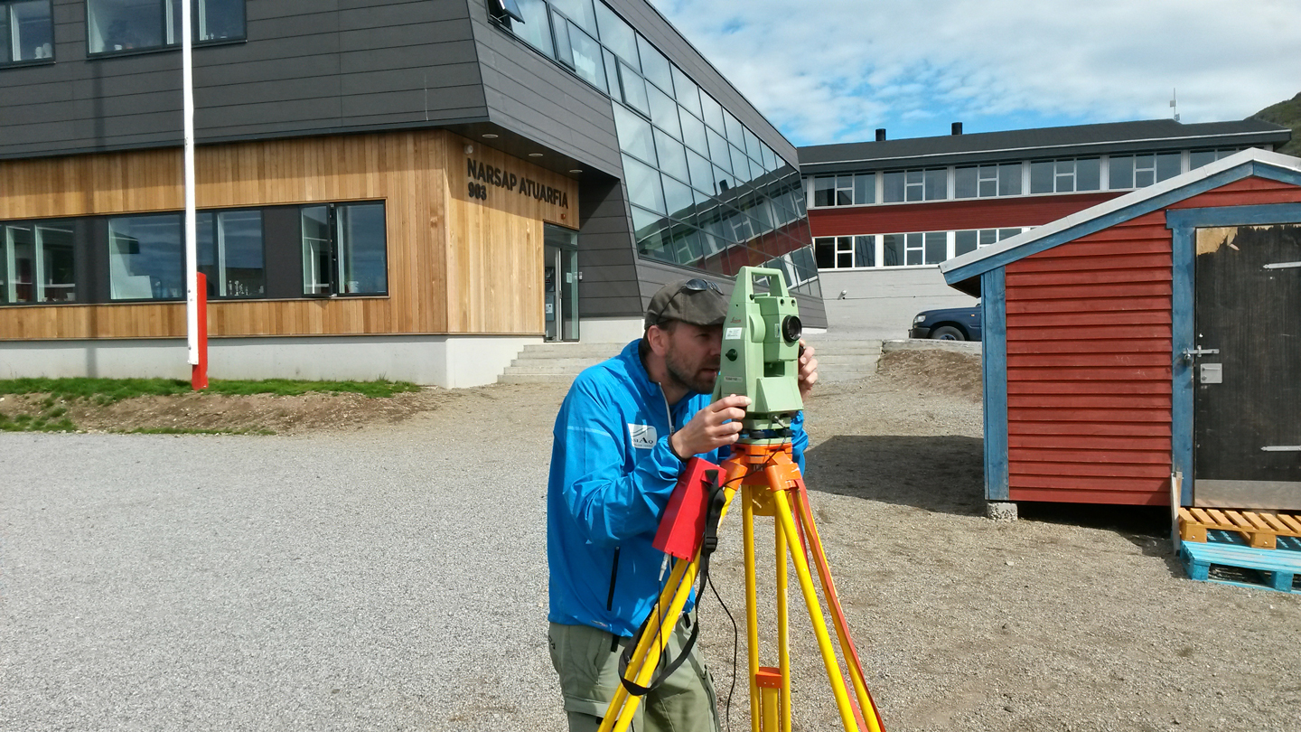
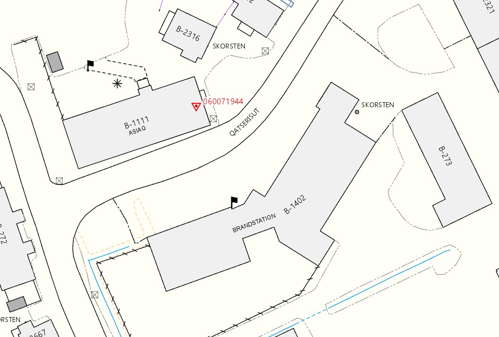
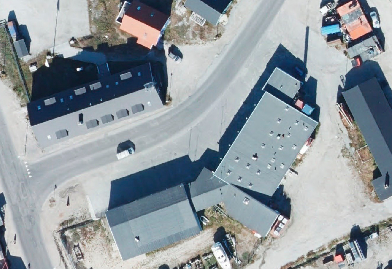
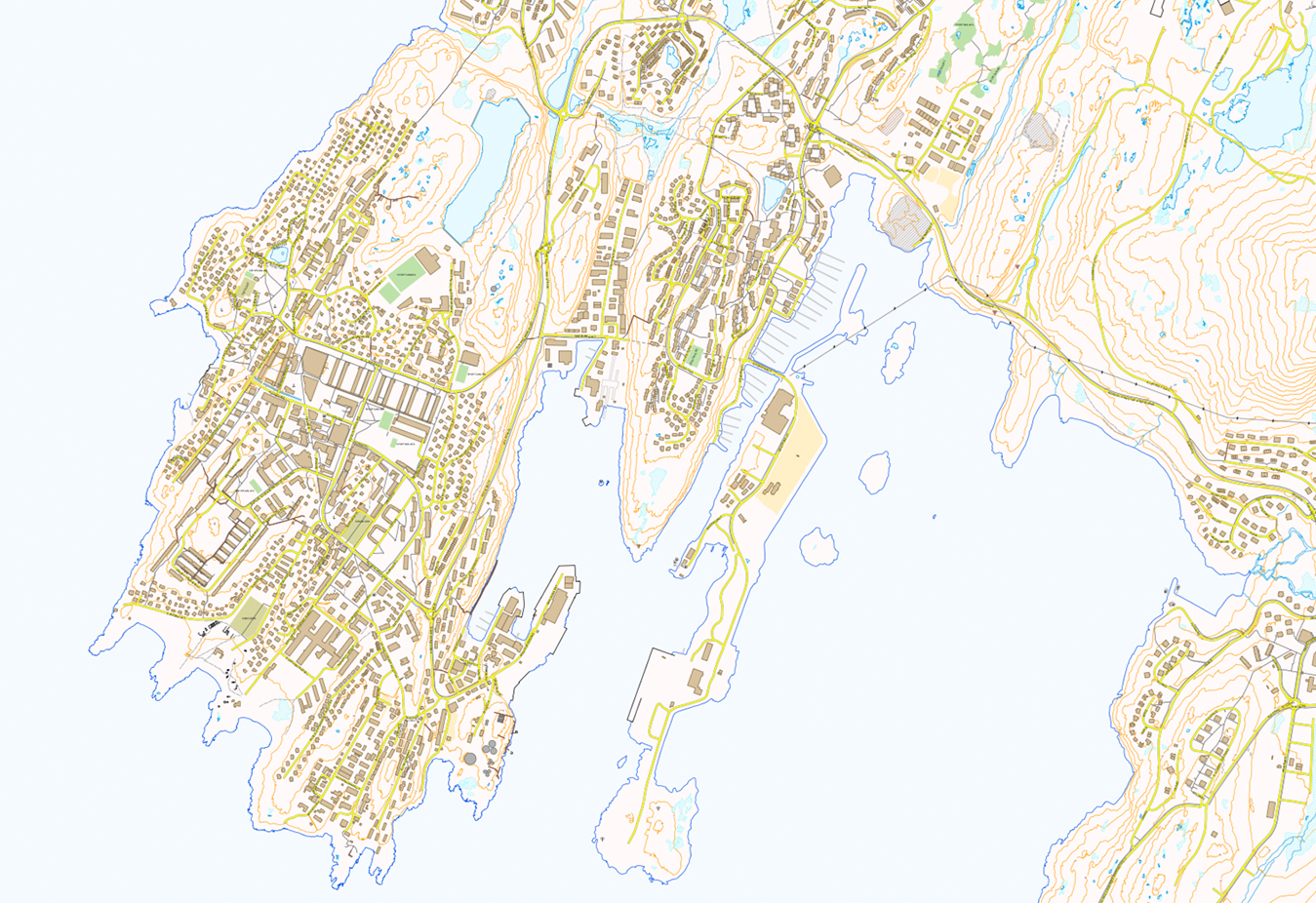
Asiaq’s main contribution to the geographical infrastructure is the technical base maps of towns and settlements. In non-urban areas, we provide mapping for public authorities, companies, and others requiring specialised maps. For mapping, data are collected by GPS on the terrain and by aerial drone, photo plane and satellite.
Asiaq can help you with expert competances, advice and guidance on all aspects of maps, geographic data and Geographic Information Systems (GIS).
You can have a look at geographic data about Greenland on the web GIS-portal www.NunaGIS.gl and on our new web-service

